Detailed Introduction to Menghai County of Xishuangbanna Prefecture
1. Overview
Menghai County sits at China’s southwestern frontier, bordering Myanmar’s Shan State to the south and west. It covers 5,511 km² and, as of the 2020 census, has 353,720 residents (≈64 people/km²)
The county seat is the town of Menghai.
2. Geography & Climate
Location & Topography
Western Xishuangbanna, adjacent to Jinghong (E), Simao District (NE), Lancang County (NW), and Myanmar (S/W)
Terrain: rolling low mountains, karst hills, and subtropical river valleys, elevation around 1,200 m.
Climate
Subtropical monsoon (Köppen Cwa): mild, frost-free year; distinct wet (May–Oct) and dry (Nov–Apr) seasons.
Monthly mean temperatures range from 14.7 °C (Jan) to 24.1 °C (Jun), annual average 20.3 °C.
Annual precipitation ~ 1,341 mm, ~164 rain-days/year
3. Administrative Divisions
Menghai administers 6 towns, 2 townships, and 3 ethnic townships (9 units total)
Towns: Menghai (勐海镇), Daluo (打洛镇), Menghun (勐混镇), Mengzhe (勐遮镇), Mengman (勐满镇), Meng’a (勐阿镇)
Townships: Mengsong (勐宋乡), Mengwang (勐往乡)
Ethnic Townships: Gelanghe Hani (格朗和哈尼族乡), Bulangshan Bulang (布朗山布朗族乡), Xiding Hani & Bulang (西定哈尼族布朗族乡)
4. Ethnic Composition
While Dai is the titular group of the prefecture, Menghai is home to many ethnicities:
Hani subgroups (e.g., Jiuwei, Jizuo, Muda) in upland villages
Bulang, Lahu, Wa, Jino, and Han, among others
Several small “unrecognized” groups (e.g., Bajia, Laomian) whose members have recently been reassigned to Bulang or Yi status
.
5. History & Culture
Historically part of the Sipsongpanna (十二省邦) Tai Lü kingdom.
Daluo town hosts a major China–Myanmar border crossing into Mong La.
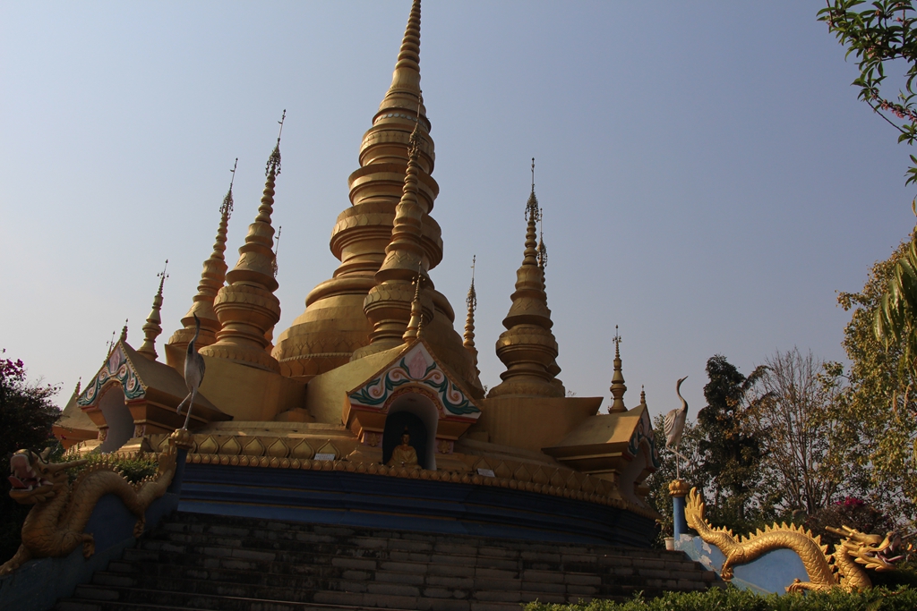
Rich in Tai Lue language and Buddhist traditions, with stilt-house villages and temple-festivals.
6. Economy
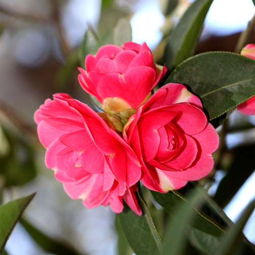
Pu-erh Tea: Menghai is famed for its Bulang tea—a premium pu-erh variety grown on Bulang Mountain and nearby plantations (Laobanzhang, Xinbanzhang, Laoman’e)
Rubber: Part of Xishuangbanna’s rubber belt, supplying raw latex to local processing.
Cross-border Trade: Daluo port channel handles agricultural goods, timber, and consumer products with Myanmar.
Tourism: Tea-culture tours, ethnic homestays, and jungle lodges attract both domestic and Southeast Asian visitors.
7. Transport & Infrastructure
Airport: Nearest is Xishuangbanna Gasa International (≈60 km east).
Highway: China National Highway 214 traverses Menghai, connecting to Jinghong and Pu’er.
Border Road: AH3 (Asian Highway 3) links Daluo → Mong La (Myanmar), onward to Kengtung.
8. Key Attractions
Bulang Mountain Scenic Area: Ancient tea trees, forest trails, and tea-farm stays.
Daluo Border Market: Lively weekly bazaar at the China–Myanmar frontier.
Ethnic Villages: Hani & Bulang homesteads with traditional longhouses, weaving, and wood-carving.
Tropical Forest Reserves: Pockets of lowland rainforest rich in orchids and birds.
9. Conservation & Challenges
Balancing rubber expansion with forest and tea-mountain preservation.
Ecotourism and organic tea certification help sustain incomes while protecting local ecology.
Menghai County exemplifies Xishuangbanna’s blend of tropical agriculture, borderland trade, and multi-ethnic heritage, anchored by its world-renowned pu-erh tea culture.
Guide
Amazing Balagezong Grand Canyon
6,2,2021 0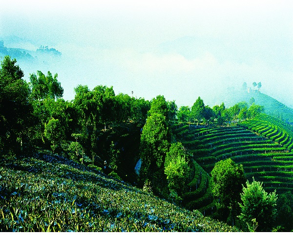
Pu’er Profile
4,5,2016 0